
Snow Warning Issued For Cumbria As Wintry Conditions Threaten The County
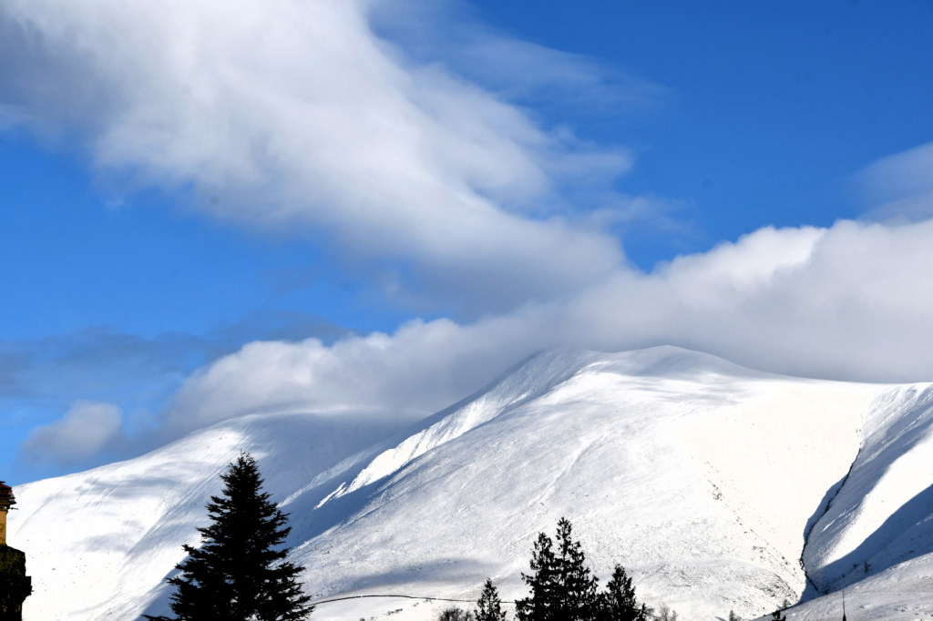
A yellow weather warning has been issued for Cumbria, with snow expected to affect higher routes during Tuesday morning.
The warning, issued by the Met Office, is valid from midnight until noon on Tuesday, November 17. It covers Cumbria and highlights the possibility of travel disruption as a band of rain moves northwards across the UK and encounters colder air.
Forecasters expect the rain to turn to snow for a time, particularly in locations around 100 metres above sea level and higher. The change in conditions means elevated parts of the county are more likely to experience settling snow than lower-lying towns and coastal communities.
Where snow accumulates, depths of between 1cm and 5cm are expected. Higher locations above approximately 300 to 400 metres could see considerably more, with accumulations of between 5cm and 15cm possible in some areas.
The warning identifies higher-level roads as a particular concern. Snow and reduced visibility could make driving conditions more difficult, potentially leading to longer journey times for motorists travelling across exposed routes and elevated parts of the county.
A strong easterly wind could add to the disruption, with the possibility of localised snow drifting. Conditions may vary considerably over relatively short distances depending on elevation, exposure and how quickly the incoming rain changes to snow.
The Met Office has also highlighted the possibility of ice accumulating on infrastructure, including power lines. Although widespread disruption is not certain, the combination of snowfall, strong winds and colder conditions could create additional difficulties in some locations.
Snow is not expected to remain throughout the warning period. Forecasters anticipate that conditions will gradually change back to rain, spreading from the south and continuing through Tuesday morning.
Lower-lying areas are less likely to experience lasting snowfall. Any snow falling below around 100 metres is expected to be temporary and should melt relatively quickly, although brief wintry conditions may still affect some locations.
The yellow warning indicates that people should be prepared for possible disruption. The Met Office uses yellow warnings for a range of weather situations, and the likely effects can differ depending on local conditions and the severity of the weather.
Motorists planning journeys across Cumbria on Tuesday morning are advised to check the latest weather and travel information before setting off. Allowing extra time, reducing speed where roads are affected and being prepared for changing conditions can help make journeys safer.
People travelling by bus or train should also check service updates, as difficult weather conditions may affect transport schedules. Those heading into higher parts of the Lake District or other elevated areas should be particularly aware that conditions may be more challenging than in nearby towns.
The Met Office warning is based on the likelihood of snow and its potential impact, rather than a guarantee that every affected location will experience significant accumulation. Local snowfall totals will depend on altitude and how the weather system develops during the morning.
Residents are encouraged to monitor official forecasts and any updates to the warning as conditions evolve. The snow warning is due to expire at noon on Tuesday, although rain and surface water may continue to affect some areas as the wintry conditions ease.
For further local news, community updates and story tips, contact news@lakelandpost.co.uk or 0333 090 2080.