
Cumbria Could See Snow as Temperatures Forecast to Plunge to -5C
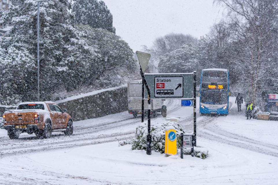
Cumbria could experience a sharp drop in temperatures next week, with weather models suggesting possible snowfall across parts of the Lake District.
Forecast data from the European Centre for Medium-Range Weather Forecasts (ECMWF), presented through WXCharts, indicates that temperatures could fall significantly during the early hours of Friday 13 November. The latest model predictions suggest Carlisle could reach approximately -5.5C, while Barrow-in-Furness may experience temperatures close to -5C. The Lake District is also forecast to experience potentially freezing conditions, with some areas reaching around -5.2C.
The same weather model indicates a possibility of snowfall in the Lake District later on 13 November. Current projections suggest around 0.7cm of snow could fall by 6pm, with approximately 0.5cm potentially settling on the ground. These figures are preliminary estimates rather than confirmed snowfall predictions, and the expected amounts and locations could change as updated forecasts become available.
However, the Met Office forecast presents a considerably milder outlook for the same period. Its predictions indicate overnight temperatures of around 4C in Carlisle, Penrith and Windermere on 13 November, while Barrow-in-Furness could remain closer to 5C. The difference between the two forecasts highlights the uncertainty surrounding longer-range weather modelling.
The Met Office's broader outlook for 8 to 17 November suggests temperatures may initially remain a little below average before returning to near or slightly above average. It also warns that conditions could become more changeable as weather systems move across the country. Exact local temperatures and the possibility of wintry showers remain difficult to establish this far ahead.
Higher ground in the Lake District would generally be more vulnerable to wintry conditions than lower-lying towns if temperatures fall sufficiently. Mountain weather forecasts for the immediate period, however, indicate temperatures above freezing on higher summits, with freezing levels remaining above the mountain tops. This reinforces the need to distinguish between a longer-range model prediction and the conditions currently expected.
Forecasters are expected to gain a clearer picture as the date approaches and further weather-model updates become available. Residents, motorists and anyone planning to visit the Lake District should check the latest Met Office forecasts before travelling, particularly if temperatures begin to fall or warnings are issued. Snowfall on higher routes could affect travel conditions even if lower areas remain free of snow.
For further local news, community updates and story tips, contact news@lakelandpost.co.uk or 0333 090 2080.